# Urban Regulation
# Form-based Codes
# Urban Design
Design Codes
#Design Code
By co-creating and digitising design rules with local communities and businesses, we find solutions that work. They reactivate places and attract investments and visitors.
But, challenges like urban sprawl, equitable access and heritage preservation, call for more than traditional planning. They demand engagement with a whole city on multiple levels.
At NOVAYA Labs, we don’t just design spaces, we reimagine policies and establish frameworks that link social and environmental outcomes at every level. We leverage data and technology to build digital tools that move beyond conventional and often inefficient urban governance and regulation.
We believe that the urban form is a catalyst for systemic transformation.
Building
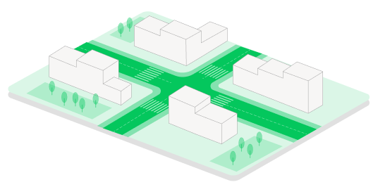
Using granular local data (where available), we develop design codes that encourage community-building and connection. Our codes promote active and accessible street fronts and create a walkable and safe environment.
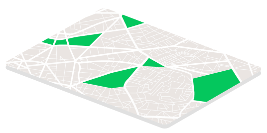
At the city level, we shape municipal policy and identify strategies for their successful implementation. Backed by comprehensive research, we help cities preserve their unique local character while identifying opportunities for sustainable growth.
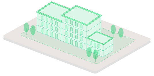
Through thorough analysis of local materials, design characteristics, and building technologies, we develop guidelines that protect unique local character while creating space for innovation. Our user-friendly guidelines aim to streamline the assessment and compliance process for individual stakeholders.
City


Multi-level approach
Street
1. City: Shaping the future of a UNESCO world heritage cityscape
We developed a set of Digital Design Codes for the 2035 master plan implementation strategy to deliver a city where growth, heritage preservation and equality are balanced. To help adopt new policies, we built a digital SaaS tool for planning authorities, businesses and residents to make planning applications and compliance intuitive, quicker, and more inclusive.
Timeframe
2019-present
Location
Derbent, Republic of Dagestan, UNESCO world heritage site
Area
6,963 hectares (municipal district)
Project
Team
Develop tech-enabled Digital Design Codes to guide the city's expansion and regeneration through detailed regulations of land use, density, materials used and construction methods that preserve its unique visual and cultural identity.
Design Codes
These design codes regulate new and existing development to protect heritage cityscapes and promote a walkable, safe, well-connected urban environment.
.1
The urban area is divided into zones by typology, e.g., terraced housing or mixed-use modern development. Each typology comes with defined land use, height restrictions and density range. It ensures diverse but cohesive development consistent with the local character and the rest of the city.
Typology-Based Zoning
.2
Higher densities are permitted in central areas with sufficient levels of infrastructure, and density tapers off towards heritage zones. This approach preserves existing character while supporting higher density where appropriate.
Density Gradients
.3
A set of incentives helps businesses adaptively reuse existing buildings, especially in heritage zones. It preserves the historical heritage, enabling its gradual retrofitting and new economic activity to contribute to gross metropolitan product.
Adaptive re-use
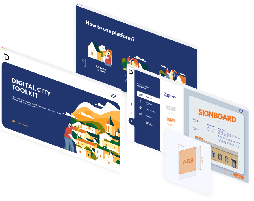
A data-driven digital tool automates the compliance verification process for new building designs, ensuring the latest codes are simple to understand and implement.
Digital
Streamlined approvals process
The tool makes it easy for property owners and developers to submit planning applications using pre-made parameters and options and receive quick automated feedback on the proposals.
Design compliance automation
The tool turns a complex paper and PDF-based process into a simple 3-step digital process that encourages the participation of residents, especially for projects in heritage areas.
Integration with the city’s local plans
The tool integrates into the city's existing digital local plans, becoming part of an extensive system to encourage development consistent with the city's unique heritage.
2. Building: A bespoke solution to building design and maintenance
Timeframe
2019 - 2020
Location
The cities of Yakhroma and Khotkovo
Area
2,800 hectares (two municipal districts)
Team
Project Lead: Artem Nikitin
Alexey Sabirulov, Artem Stepanov, Kate Osokina, Irina Simakova, Alisa Tsoy
Partners: National Research University Higher School of Economics
Alexey Sabirulov, Artem Stepanov, Kate Osokina, Irina Simakova, Alisa Tsoy
Partners: National Research University Higher School of Economics
Develop a digital toolkit to guide building design, protect local character, and foster better building maintenance.
Database
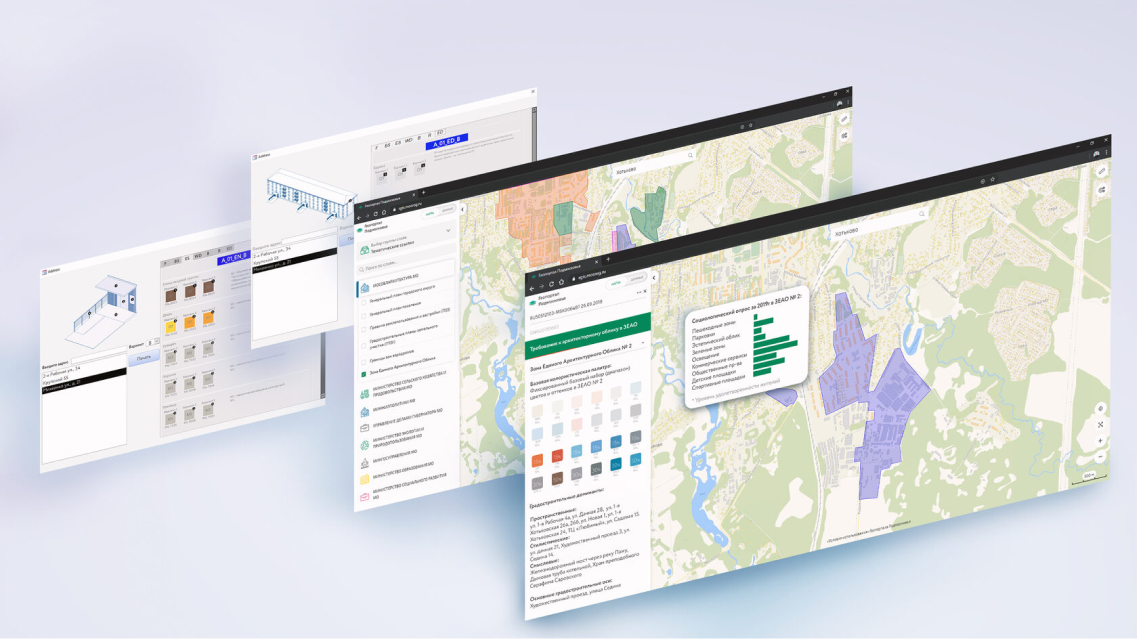
Our team developed a database of approved materials, colour palettes and design elements to implement new design codes. We conducted a visual inventory and social survey to identify and prioritise the design elements recognised by residents as parts of local identity. We combined that with data on the environmental performance and durability of approved materials, enabling planners and architects to make informed choices that are visually applicable and environmentally sound.
We built a user-friendly digital interface for developers and design teams to easily navigate the latest design codes, select materials and visualise colour schemes in a set context. A "building passport" - a document with design choices and materials - became a key innovation to facilitate transparency, accountability and collaboration between applicants, residents and planning officials.
Digital
Collaboration and transparency
Automated verification of design compliance that saves time and ensures designs meet requirements from the outset.
Design compliance automation
Users can review and adjust design choices using an intuitive web-based application, automatically generating a "building passport" to simplify decision-making and improve transparency of the approval process.
Maintenance coordination
Design choices for materials are linked to bespoke upkeep schedules that make it easy to coordinate and oversee maintenance activities across multiple buildings and track facade material lifespans and performance. In-built reminder and logging functionality supports proactive management and reduces costs.
3. Street: Navigating the historic heart of a city
Develop a wayfinding system for the historic heart of the city that translates unique local identity, creating an immersive cultural experience for both residents and visitors.
Timeframe
2023 - 2024
Location
Ulan-Ude, Republic of Buryatia
Project Lead: Artem Nikitin
Ekaterina Cherepanova, Nadya Petrova, Maria Chernaya, Anastasia Fanduberina, Eugenie Tidzhieva, Kristina Emelianova, Lina Filip
Partners: Asya Lygdenova
Ekaterina Cherepanova, Nadya Petrova, Maria Chernaya, Anastasia Fanduberina, Eugenie Tidzhieva, Kristina Emelianova, Lina Filip
Partners: Asya Lygdenova
Area
Team
3.2 hectares, the city’s central historic district
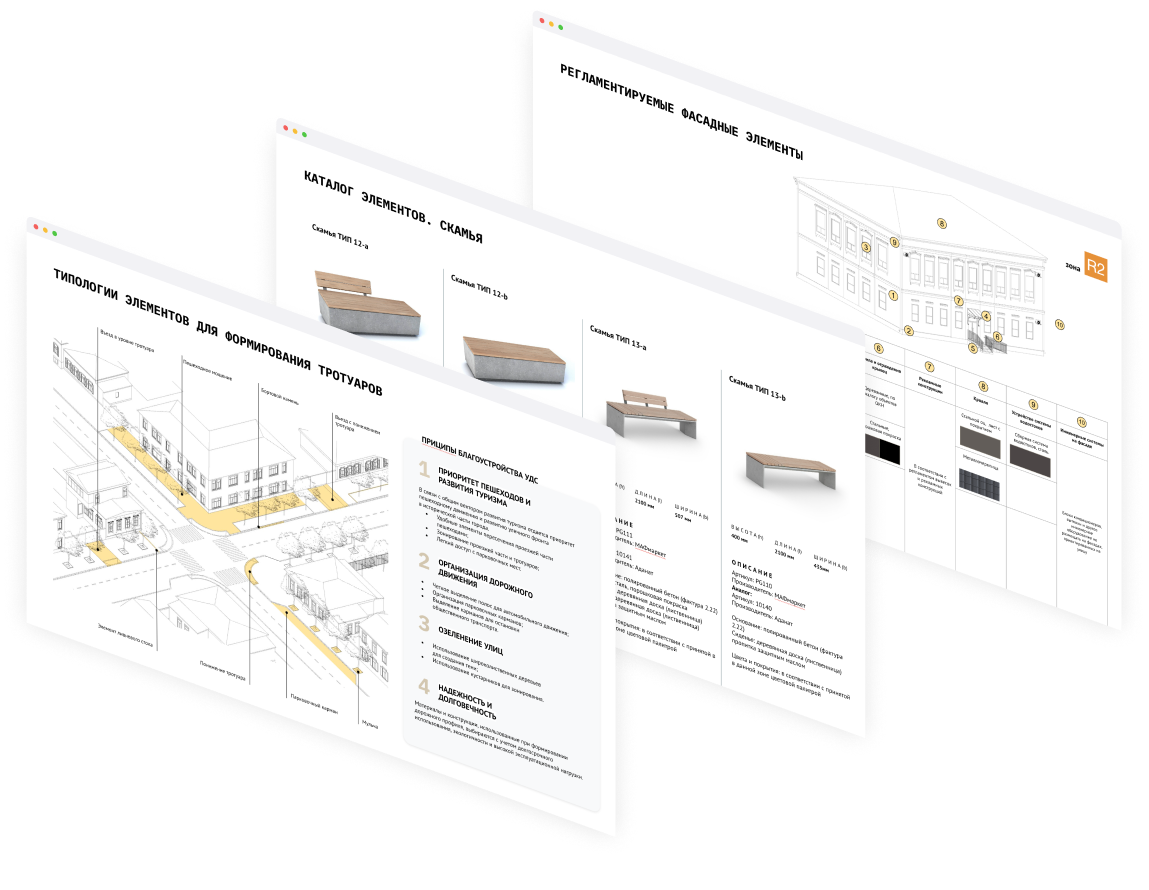
We developed street improvement plans and codes to guide the design and implementation of landscaping, lighting and street elements like benches, kiosks and signage strategically placed to encourage interaction and improve walkability.
Streetscape
Wayfinding
We partnered with a local artist to design a system of multi-lingual signage celebrating local cultural identity. A wayfinding system is strategically integrated throughout the city centre to guide residents and visitors to the key attractions and public spaces.
.1
The wayfinding system includes signage in Buryat, Russian, and English. Buryat and Russian are equally prominent, reflecting the city’s commitment to local heritage, while English supports international visitors.
Multilingual and culturally focused signage
.2
Partnered with artist Asea Lygdenova, the wayfinding signs feature Buryat-Mongolian calligraphy, adding a unique aesthetic that resonates with Buryatia’s cultural roots, enriching the region’s visual identity.
Integration of buryat-mongolian calligraphy
.3
The signs are placed throughout the historic centre to guide users effortlessly to main attractions and public spaces. This positioning improves walkability and accessibility, making the historic district easier to navigate while promoting an immersive cultural experience for both residents and visitors.
Easy navigation


